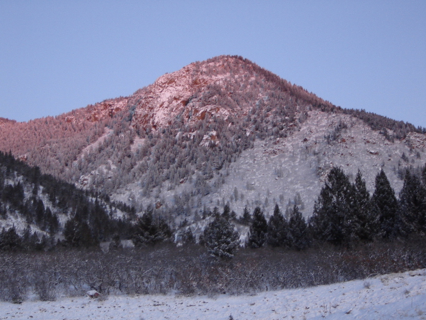
 Blodgett Peak in winter
After underestimating the difficulty (i.e., how long it would take), and, let’s face it, getting somewhat lost, trying to climb Blodgett Peak in the fall of 2005, I went back on the 17th of February, 2007. Blodgett (9,428 ft.) dominates the skyline to the west of the north end of Colorado Springs. Two years ago, the city created an “open space” park on its lower eastern slopes, with a trailhead on Woodmen Rd., which leads to a maze of trails (some made from old roads) leading partway up to the summit. Despite the consensus existence of a “standard” route, the final leg of the climb is largely an off-trail scramble through boulders.
This time, I was determined to make it, with an early (sunrise) start, and willing to take as much of the day as needed. I didn’t expect the climb to go off without a hitch, however, and it didn’t.
I’d done a good job of getting myself up early, to allow time for the drive from the other end of Colorado Springs, aiming to start before sunrise. Upon arriving at the trailhead just after 6:30, however, I discovered my first two hitches: I’d failed to put fresh batteries in my GPS unit. They were darned near empty, which meant that the unit was going to be basically worthless to me. No accurate round trip mileage. No elevation reading at the summit. Oh, well.
Perhaps worse, I’d also neglected to put the water bottles in my belt pack! I’m pretty good on going without water, and it certainly wasn’t hot, but I still would have felt better with some liquid on board. But I certainly wasn’t going to drive all that way back to make up for the mistake, so I sucked it up and hit the trail at 6:41 am, just a few minutes before sunrise. The temperature was 24°. The forecast was for 40° later on, but I was prepared for the morning cold with five light layers under my windbreaker, and 2 under my windpants, plus down mittens over my wook mittens. I figured I’d be taking some of that off later.
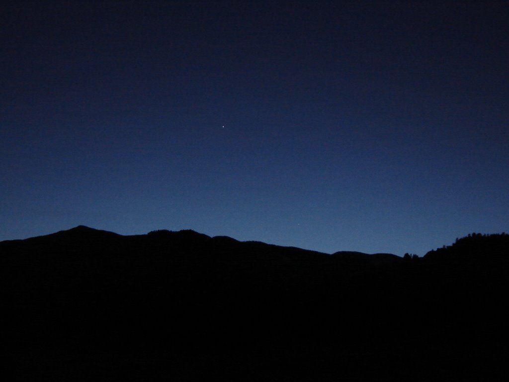
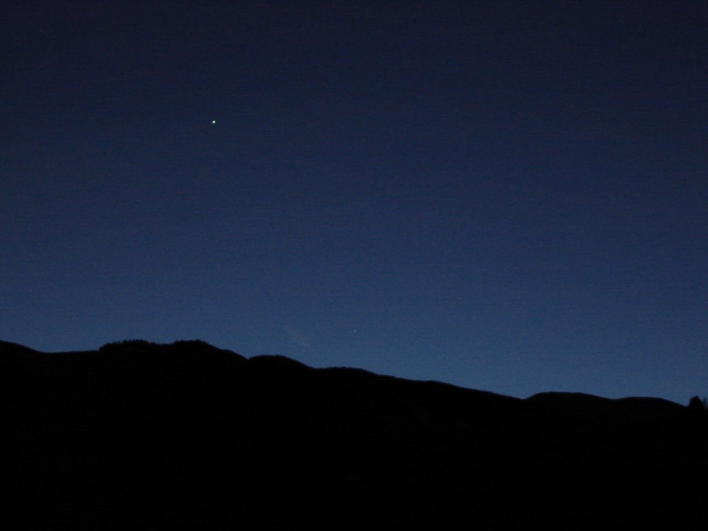
There was about an inch of light, new snow on the ground, and, indeed, the chill of the night before, when it fell, had made me think twice about this climb. But even very early in the morning, it was evident that the snowfall was over and the sky was clearing, heralding just the kind of morning I wanted: clear and calm. So, with no one else in sight, I set off, making the only tracks in the snow. I had been told that a clear path had been beaten down, all the way to the summit, in the snows of previous storms. I could only hope that some of it, at least, would still be visible.
The beginning of the trail is a still-used dirt road which accesses a water tank a little way up the slope. To that point, the route is unmistakable. Once past the water tank, however, I quickly experienced uncertainties about which fork to take at several places. The trail wanders back and forth quite a bit, and even when you’re supposed to be going “up,” you can find yourself losing small increments of altitude here and there. Just as bad, once in the trees, it becomes nearly impossible to get a good visual fix on how one is proceeding up the drainage which the “standard” route follows. Fortunately, though, just as I was confronting my first major doubts about my chosen route, I happened on the first of the new signs (at least I didn’t see them last time...) which offer some clarification at key trail junctions.
Soon, I was on the east-facing scrub slopes, on what was clearly the trail, and making what felt like good progress. About an hour and a quarter in, I decided to pause and capture what seemed like a nice view out to the east-northeast, through the still-snow-decked trees.
Not far from here, one approaches the large rocky outcropping that defines the southeast side of the peak in earnest. My directions appeared to say that I should pass to the left (south) of this feature. But as the trail grew steeper and sketchier, it also determinedly led me north. One final attempt to veer off to the south, and bypass all of the rocks, actually led me to start giving up altitude, and even so, no real end to the rocky ridge was in sight. I finally abandoned the attempt, and began working my way back to the north (as I continued to descend...). My goal now was to re-interesect my own upward tracks, and then make for a major cleft in the rock face which I had seen earlier. I reasoned that this would provide just as good a way up onto the ridge, and to the saddle south of the true summit, as anything else within easy reach.
I did find my own tracks, after wasting only about 15 minutes on this little detour. I then headed right, up into the gully. Unsurprisingly, this almost immediately took me into rocks which showed little if any trace of a real trail. I could see enough of what lay above me, however, that I had no qualms about just pursuing this route, confident that it would eventually lead me to the general vicinity of the summit.
This is where it becomes apparent why so many climbers of this mountain have reported that it is more taxing than the raw distance (5 miles or less) and elevation gain (2,400 ft.) would suggest. It’s slow going, over rocks interspersed with fallen timber, and it’s steep. It’s nothing any competent scrambler can’t handle, but it’s relentless and, therefore, slow. Strangely enough, it was in this section that I did find several cairns, small but obvious. So, at least through here, I was clearly on the usual route. I had also found it useful to do something I hadn’t done in years: use a stout stick I found as a hiking pole. It helped in probing the new snow to assess the nature of the surface underneath, allowing me to avoid numerous slippery, tilted rock surfaces, and occasionally helping me keep my balance.
After slogging up this rock field for a while, I finally decided to cut steeply up to the right, where the ridge crest still appeared to be much closer than the top of the gully in front of me. I figured that if this brought me out east of the summit, instead of west or south of it, that would be okay, since it couldn’t be very far from the actual peak. This turned out to be correct.
After a short, steep climb, over slightly larger rocks, I topped out and could see northern Colorado Springs below. I turned left along the ridge and made for the high point just a few dozen yards away. Naturally, this was not the summit. But, at least, from here, I could actually see the true summit. It was perhaps an eighth of a mile away and all of 20 or 25 feet higher, but I would have to descend about that same amount first, weaving my way through trees and rock outcroppings.
Not bad, really. And, finally, at 9:25 am, I stepped onto the fairly broad level area of the actual summit. The wind had come up, making taking pictures a cold business. But what I had read is true: You can see Front Range and Mosquito Range fourteeners from here. So I quickly took the best pictures I could in that direction (maximum zoom and struggling to steady my hands), and a couple to the south (in the direction of Pikes Peak) and headed down.
I had guessed that, from the summit, I might find a clear trail leading down to the south or west, since I was (and remain) convinced that I had deviated from the standard route on the last leg of my climb, but, at least with the snow still clinging to the ground, I didn’t find one. Also, to this point, I had not seen anyone else on the mountain, nor indeed anyone else’s tracks. Thus, I decided that the most prudent thing to do was simply to follow my own tracks down, circuitous though they might be. I figured that, even under the worse possible circumstances, the descent would take less time than my ascent.
The initial leg off the summit went nearly as slowly going down as it had going up, owing to the steepness and the slipperiness. Indeed, I actually slipped a couple of times in this short section. But the descent through the cairned section of the rock field did go considerably faster.
Just about at the bottom of the rocky section, I finally saw some other tracks. Someone with cleats on his or her boots had followed me up to that point, but then headed off to the southwest (following the drainage more closely). I envied him/her the cleats at that point, as I was doing a good deal of sliding in the now melting snow! I wondered: Was this where I had lost the standard route? But the cairns I had encountered higher up made me think otherwise. This uncertainty is still unresolved.
A few minutes later, back on a more-or-less consistent trail, I finally actually saw another human being. (This would have been between 10 am and 10:30.) I chatted briefly with him (didn’t get his name, though...) and discovered that this was his third climb of Blodgett. He still seemed to benefit from what I could report of the trail and conditions higher up. He was also wearing a brand new pair of YakTrax, leaving very clear prints, so I took to following his tracks, instead of looking for my own at that point.
Partly as a result of that, I am not convinced that I took exactly the same route down from there that I had taken on the way up. But it worked out just fine, and it wasn’t too long before I came over the crest of a small hill and saw the water tank. This was in marked contrast to my first descent off Blodgett, when I (I think) took the road that traverses the south side of the same drainage, and follows a much longer path back to the vicinity of the trailhead. A few people, in considerably lighter clothing, were on the lower sections of the trail or arriving at the parking lot when I got back there at 11:27 am. All in all, a satisfying climb of a new peak.
The photo album is at:
http://www.imagestation.com/album/pictures.html?id=2095402270
posted by cftbq at 12:11 PM
0 comments
![]()